 ← Back to All Projects
AD Ports GIS Modernization and GeoAI
AD Ports Group is modernizing its geospatial capabilities to turn location intelligence into practical tools for maritime safety, industrial planning, environmental monitoring and investment decisions.
Through the GIS Cloud Modernization and GeoAI Enablement program, Khatib & Alami (K&A) is delivering a modern cloud-based GIS environment, four business applications and a five-year GIS roadmap. GeoAI capabilities extend the platform further, enabling natural-language interaction with approved company data and AI-assisted analysis of imagery.
Making maritime restrictions easier to find
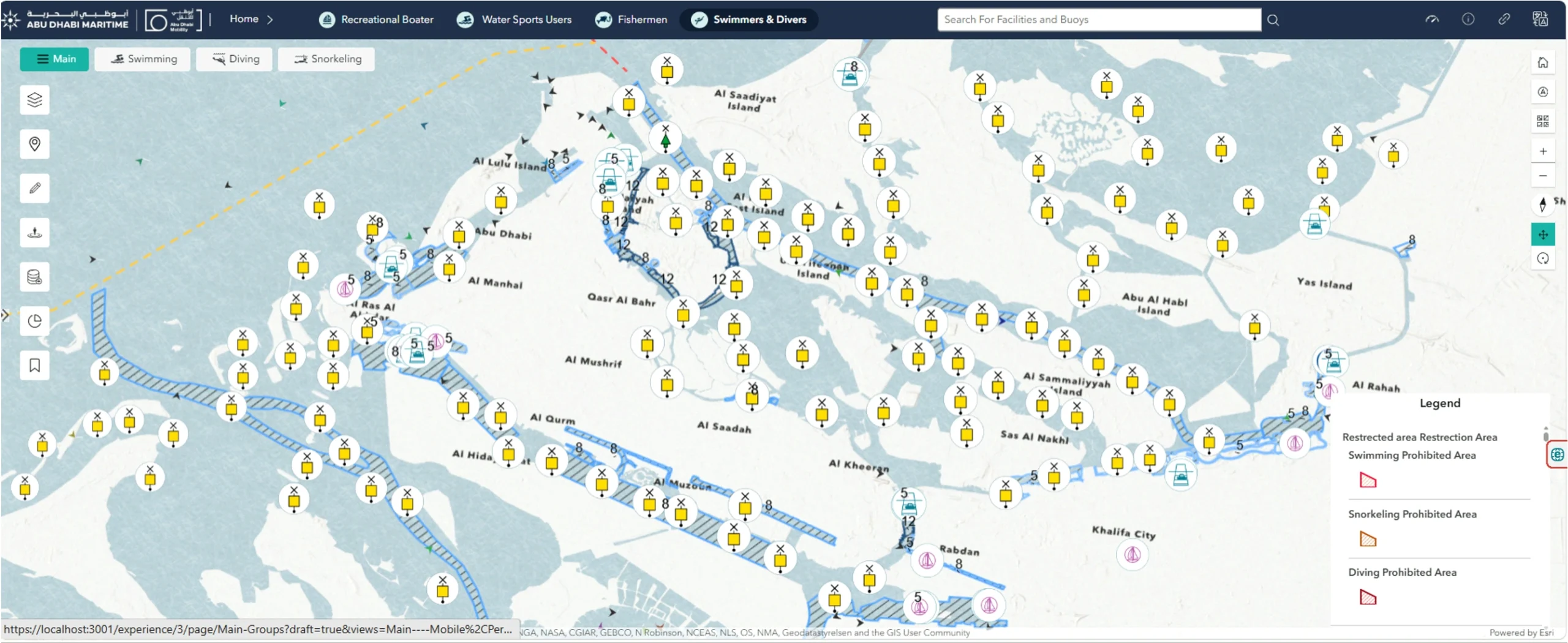
Maritime Safety Maps is a public application designed to help boaters and other sea users find the zones, speed limits and restrictions relevant to their activities.
The map presents guidance for Abu Dhabi’s coastal waters, supporting safer navigation and responsible use of the sea.
Querying land records in plain language
For the urban planning team at KEZAD Group, AD Ports Group’s economic zones and industrial real estate business, a secure Map Viewer brings plot, infrastructure and property information into one governed platform.
Planners can use GeoAI to ask questions in plain language about approved company data. This lets them explore the mapped records when assessing land and infrastructure.
Monitoring oil spills and algal blooms
The Environmental Dashboard is being developed to use satellite imagery analysis to identify potential signs of oil spills and algal blooms across UAE waters.
Teams can review suspected incidents alongside sensitive habitats and port facilities to guide investigations. The dashboard also keeps evidence traceable for use in environmental reports.
Assessing ports ahead of investment
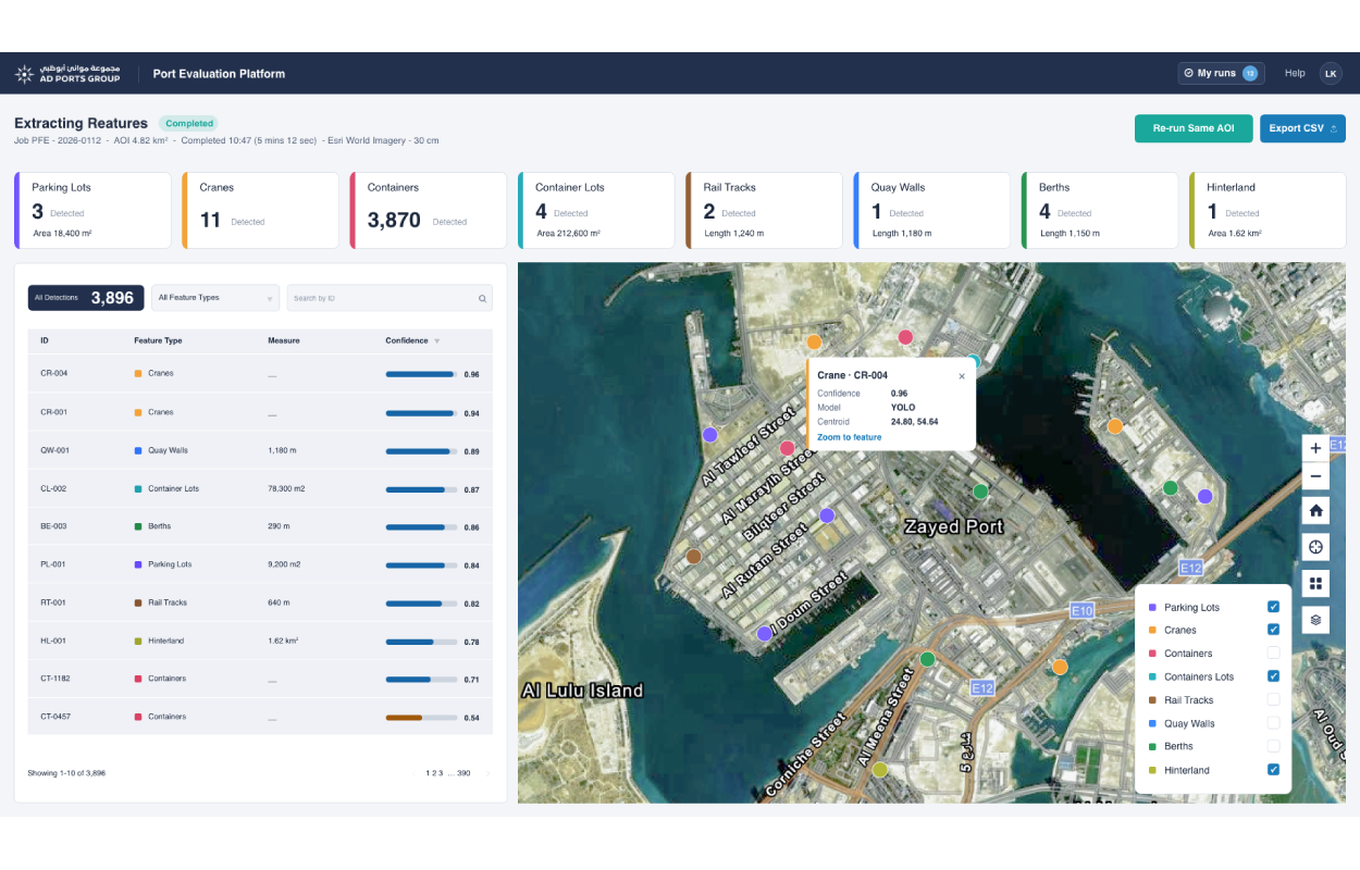
The Port Evaluation Platform applies GeoAI and imagery analysis to provide investment teams with an early understanding of a target port’s infrastructure, assets and utilization.
By identifying key infrastructure and analyzing how port areas are being used, the platform supports more consistent initial screening of acquisition opportunities before detailed technical and commercial due diligence.
Planning the next five years
Alongside the applications, K&A developed a five-year GIS roadmap identifying further initiatives for AD Ports Group to implement.
The five-year roadmap provides AD Ports Group with a structured path for expanding its geospatial capabilities, prioritizing future initiatives and planning the technology, data and skills required to support long-term digital transformation.