
 ← Back to All Projects
Sharjah Urban Observatory: Automating Urban Indicators
At the Sharjah Urban Observatory, updating urban indicators once depended on official letters, PDF files and hours of manual data entry. Khatib & Alami (K&A) partnered with Sharjah’s Department of Town Planning and Survey (SDTPS) to establish the observatory and automate how it collects, calculates and presents information.
The platform combines partner data with information extracted from satellite imagery, helping planners track development and assess exposure to extreme weather.
Establishing a common basis for measurement
During the first phase, delivered in 2019–2020, the team developed the observatory’s organizational framework following international best practice. The team defined core indicators against global and local targets, with documented calculation methods for each.
A central database and web map viewer gave users a shared reference for examining urban conditions across Sharjah.
Automating 135 urban indicators
Keeping the figures current was a challenge. Partner organizations supplied PDFs, leaving staff to enter data manually. This slowed updates and increased the risk of transcription errors.
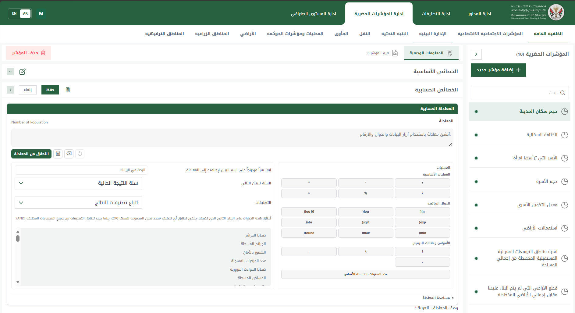
In the second phase, which began in 2025, more than 15 internal and external data providers submit information through the Data Collector Application using predefined templates. The Indicator Manager Application automatically calculates all 135 indicators, each according to its own schedule.
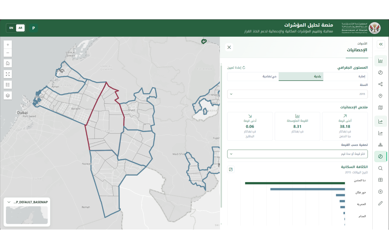
This process reduces repetitive data entry and applies consistent calculation methods. Staff can focus on interpreting the figures with indicators available at scales ranging from the whole emirate to individual land parcels.
An Executive Dashboard presents 15 priority indicators for leadership. Specialists can investigate the results further through the Indicator Analysis application.
Using satellite imagery to fill data gaps
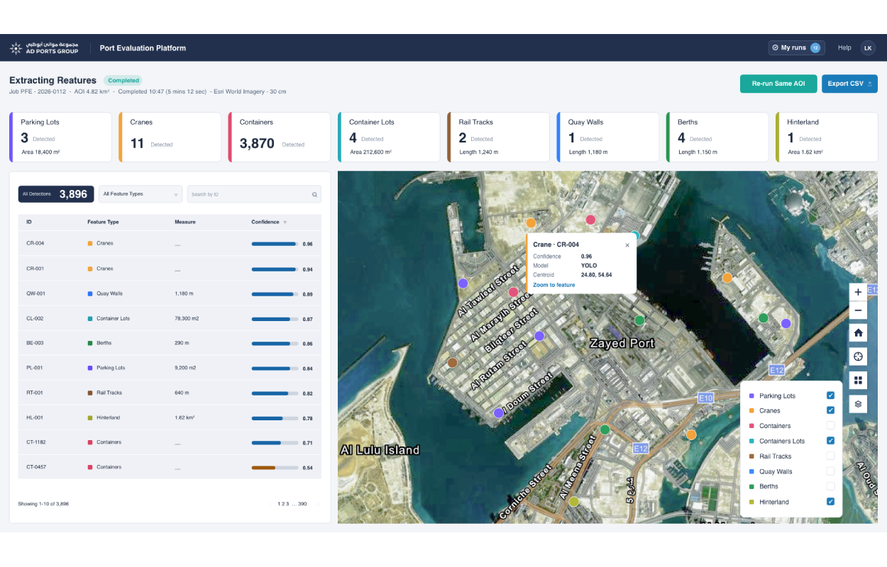
When partner datasets do not cover the required information, GeoAI generates data from satellite imagery.
Building extraction supports the classification of land parcels as built or unbuilt and the creation of a population grid. Other analyses distinguish paved from unpaved roads and detect farms, helping the department identify authorized and unauthorized sites.
Applied to imagery from 2010 to 2025, these methods show how Sharjah has developed over time.
Dedicated AI models also estimate the land, parcels, population and areas that could be affected by floods and cyclones in Sharjah’s Eastern Region. This gives planners a geographic view of potential exposure to support preparation for extreme weather.
Preparing for further analysis
The observatory provides a basis for developing composite indicators that combine several data sources. It could also support a future digital twin of the emirate, allowing planners to test scenarios before changes take place on the ground.