

Digital Transportation Solutions
Transportation authorities and operators manage complex networks, changing demand and continuous streams of operational data. Connecting this information helps teams understand conditions, coordinate operations and plan for future demand.
Khatib & Alami delivers digital transportation solutions that integrate spatial intelligence, digital twins, AI-powered analytics and operational systems to support planning, network management and asset performance across roads, rail and metro, ports and airports.
Enterprise GIS, reality mapping and digital twins create detailed representations of networks and facilities for scenario testing and investment assessment. Connected monitoring systems and analytics extend this information into daily operations and long-term asset management.
Roads & Highways
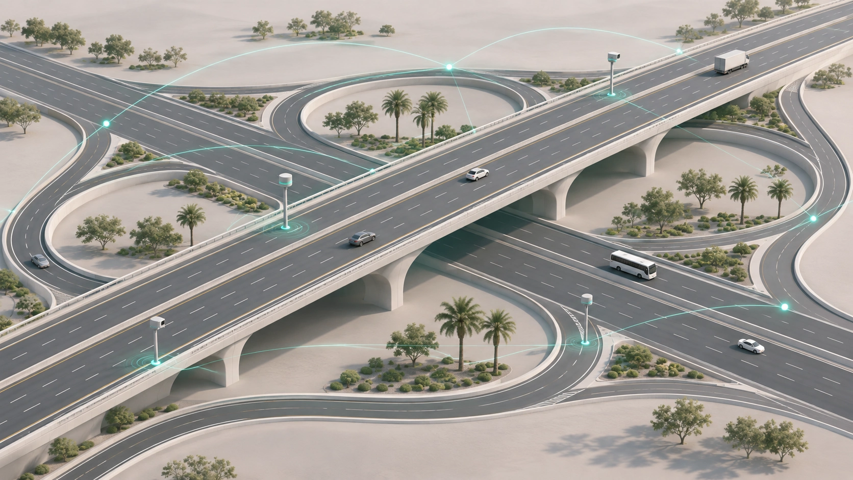
K&A develops geospatial models and digital twins that combine road network, traffic and pavement condition data. Authorities use these environments to assess corridor and highway plans, optimize intersections and interchanges, and plan pavement lifecycle interventions. Applications also include road network classification, traffic flow analysis and urban mobility planning across transport modes.
AI and Traffic Operations
For daily operations, real-time traffic analysis supports congestion prediction, adaptive signal control and automated incident detection. Linking these insights to operational systems allows teams to coordinate responses and adjust traffic management measures as conditions change. These capabilities complement K&A’s Intelligent Transportation Systems (ITS) services.
Predictive Maintenance and Road Safety
Inspection records and condition monitoring provide a basis for predictive maintenance, helping authorities identify deterioration early and prioritize interventions. Combined with incident data, spatial analysis also reveals accident hotspots and informs road safety assessments.
Explore our road planning, engineering and delivery expertise.
Rail & Transit
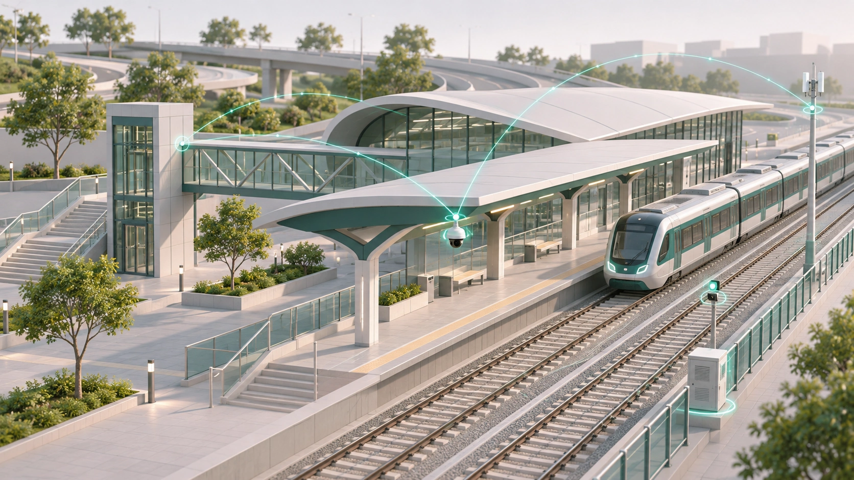
Rail and metro operations depend on coordination between timetables, station capacity, rolling stock and track condition. K&A combines spatial intelligence, digital twins and operational data to give authorities and operators a connected view of the network, from corridor planning to daily service delivery.
Geospatial models and digital twins are used to support alignment and station planning, depot and interchange layout, ridership and catchment analysis and integration with bus and road networks. The same environments can be used to test out service patterns and capacity options prior to any actual investment being made.
AI and Service Operations
AI-powered analytics draw on timetable, passenger-flow and fleet data to anticipate crowding, assess punctuality and support real-time service adjustments. Linking these insights to control-room systems helps operators manage disruptions and communicate with passengers as conditions change.
Asset Condition and Predictive Maintenance
Condition monitoring of track, structures, power and signaling assets provides a basis for predictive maintenance, helping operators prioritize interventions and plan possessions with less disruption to service. Combined with incident and inspection records, spatial analysis also supports safety assessments and asset lifecycle planning.
Explore our rail and mass transit solutions.
Ports & Maritime
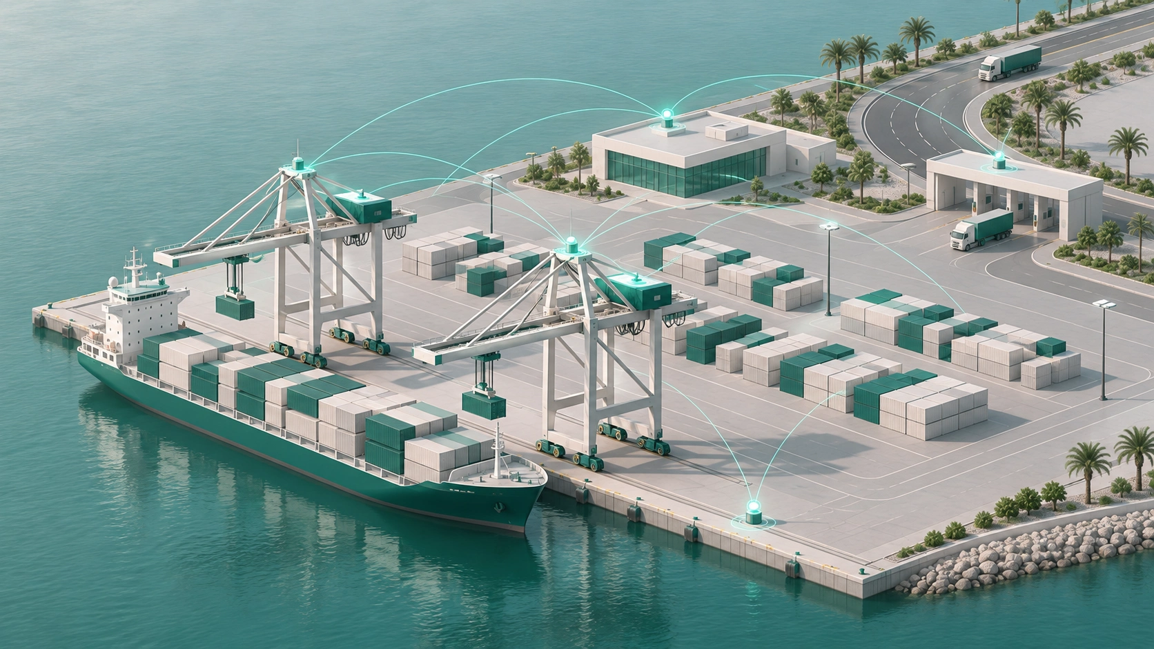
Port performance depends on coordination between infrastructure, vessel movements, cargo handling and inland transport connections. K&A integrates spatial intelligence with port operational systems to give teams a shared view of these activities.
Digital models inform port layout planning, berth optimization, vessel traffic analysis and maritime corridor mapping. They also support cargo flow and terminal capacity planning, logistics integration and spatial analysis for coastal and environmental impact assessments.
AI and Port Operations
Predictive analytics extend this work into vessel scheduling, berth allocation and cargo handling. Analysis of arrivals, terminal activity and cargo movements allows operators to anticipate congestion, assess turnaround performance and coordinate with wider shipping networks.
Environmental Monitoring and Coastal Resilience
Environmental monitoring and digital twins bring coastal risks, emissions and operating conditions into view. Integrating this information with port systems supports safety and security oversight, regulatory compliance and planning for operational disruptions.
Explore our marine engineering expertise.
Airports & Aviation
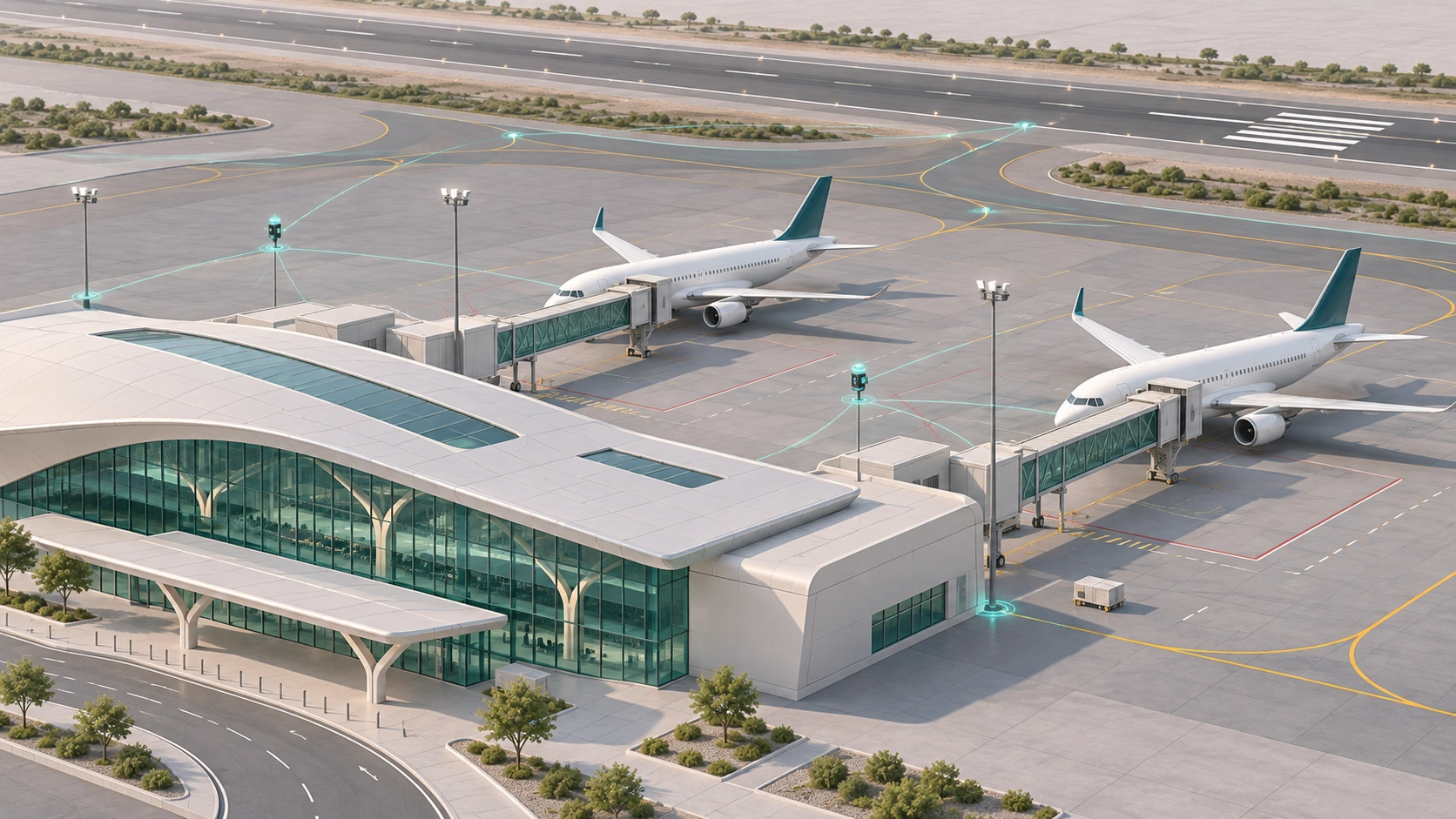
Before an airport expands or changes its operations, digital simulations allow teams to test the effects on airside and landside capacity. K&A brings spatial, infrastructure and operational data into digital models for runway capacity analysis, terminal and passenger flow modeling, ground asset mapping, and airspace and obstacle limitation surface analysis.
AI and Operational Coordination
AI-powered analytics support the coordination of flight schedules, passenger movements and ground handling. Examining these datasets together helps airport teams anticipate pressure points, assess turnaround times and pinpoint sources of delay.
Asset, Safety and Environmental Monitoring
Ongoing monitoring connects infrastructure condition, airside safety information and environmental performance data. Airport teams gain early visibility of emerging risks and maintenance needs, alongside digital tools for tracking compliance, assessing carbon reduction initiatives and preparing for operational disruptions.
Explore our airport planning and engineering expertise.
For infrastructure planning, engineering and project delivery across transport modes, explore our Transportation expertise.