|
During an emergency, it is critical to have
the right data, at the right time, to enable a fast and appropriate
response. When the emergency involves vital national infrastructure,
having the necessary information to hand is even more critical.
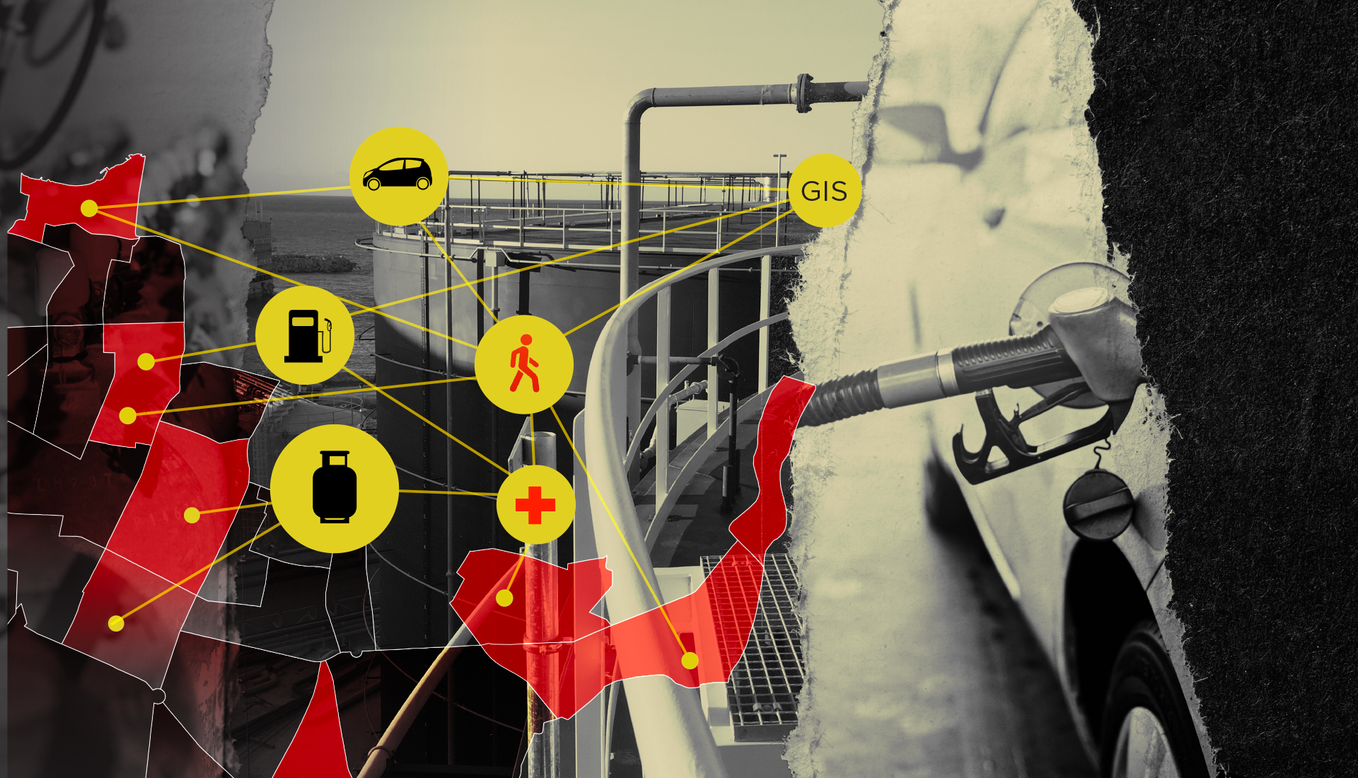
This was the case for Lebanon’s General Directorate of Gas and Oil,
part of the Ministry of Energy & Water, when it needed to lay the
foundations for a national disaster contingency plan for the
country’s oil installations, gasoline distribution stations, gas
stations and related storage tanks. Given the sensitivity of these
facilities, it is vital that all information is accurate, accessible
and regularly kept up-to-date. The solution was a Geographic
Information Systems (GIS) Disaster Management System, which was
carefully developed by Khatib & Alami (K&A).
Project manager Mounia Badran said: “Disaster management is a
continuous process. It starts by working towards preventing
disasters from happening. But when disasters do happen, we work
towards a fast response and an early recovery with the least
possible losses. The GIS-based system will be used for risk
analysis, disaster management and emergency response.”
GIS—The Foundation for Emergency Management
During a disaster event such as wildfires, floods, earthquakes,
hurricanes or oil spills, emergency services would need detailed
information concerning gas stations, oil tanks, pipelines, building
layout, electrical distribution, sewer systems, and so forth. By
utilizing GIS, all relevant departments can share information
through databases on computer-generated maps in one location.
Without this capability, emergency responders have to guess,
estimate, or make decisions without adequate information. This costs
time, money, and – in some cases – lives. GIS provides a mechanism
to centralize and visually display critical information during an
emergency. The majority of information is spatial and can be mapped.
Once information is mapped and data is linked to the map, emergency
management planning can begin. Once life, property, and
environmental values are combined with hazards, emergency management
personnel can begin to formulate mitigation, preparedness, response,
and recovery program needs.
The modeling of disaster events in GIS enables training for tactical
deployment, as well as analysis of the consequences of different
scenarios. In this way, the thoughtful application of a GIS can take
much of the panic and surprise out of emergencies.
The Innovative Approach to the Field Survey
The scope of this eight-month project included everything from
initial surveys to the development of the GIS platform, followed by
the uploading of data and finally delivery of training, maintenance
and support.
By using Esri’s Survey123 app for K&A Field Surveyors, the team is
now able to better coordinate field works and achieve operational
efficiencies. Using an e-Data Collection Survey proved to be more
efficient and accurate that a paper survey, and helped the
management team to stay on top of the field operations by
monitoring, tracking and reporting real-time data feeds to focus on
what matters the most.
|