
 ← Back to All Projects
A Unified Geospatial Database for Al Baha
Planning Al Baha’s development requires information from many sources to be accessible and consistent.
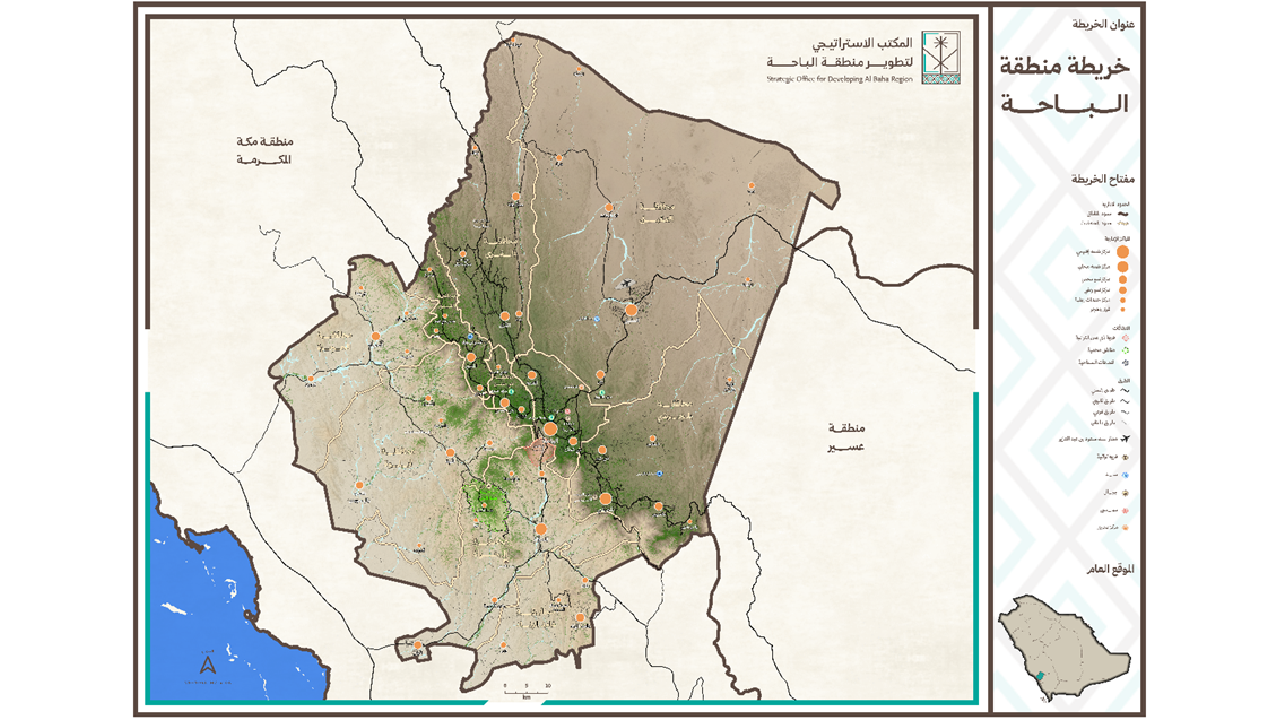
Khatib & Alami (K&A) delivered a unified geospatial database and GIS Center for the Strategic Office for Developing Al Baha Region (BSO). The project brings data from multiple sources into one framework, with applications for monitoring development, reviewing investment and tourism opportunities, and collecting field information.
The assignment covered database design, application development and data governance, alongside supervision of the GIS Center’s operation and management.
Bringing regional data into one framework
The Al Baha GIS project combined geospatial data from multiple sources within a standardized database. Data standards, metadata and quality control made the information more consistent and easier to share among stakeholders.
This shared resource supports regional planning and development monitoring. It also provides geographic information for assessing investment and tourism opportunities.
Exploring Al Baha through more than 250 layers
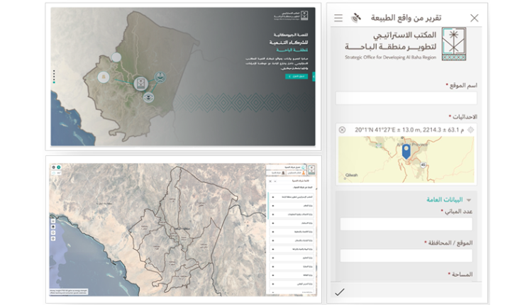
A digital portal brings the region’s information and geospatial applications together. Its Geographic Explorer provides access to more than 250 geospatial layers for users to examine and analyze.
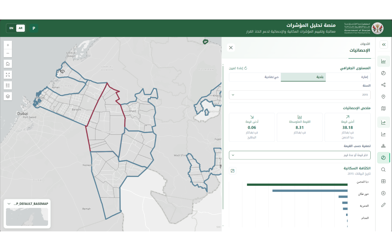
Specialized applications cover development indicators, government and investment projects, and tourism opportunities. Other tools support stakeholder engagement and field data collection, connecting information gathered across the region with the GIS environment.
Recognition for geospatial data governance
BSO obtained ISO 19115 certification for geospatial metadata, marking a milestone in its work to improve metadata quality and data governance.
Also BSO received the MENA GeoExcellence Award at the Esri Middle East User Conference in Riyadh-2026.
These achievements recognize the work to improve how regional information is organized and made available. The unified database and GIS Center give BSO a shared resource for reviewing development activity and informing regional decisions.