
 ← Back to All Projects
Digitalizing Enagás’s Fiber Optic Network
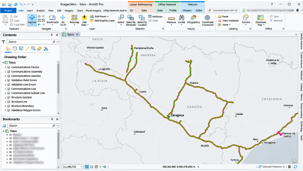
The Enagás fiber optic network extends more than 6,000 km alongside the company’s gas transmission infrastructure in Spain. Yet the records needed to manage it were spread across drawings, diagrams and spreadsheets, making connections difficult to trace and information laborious to update.
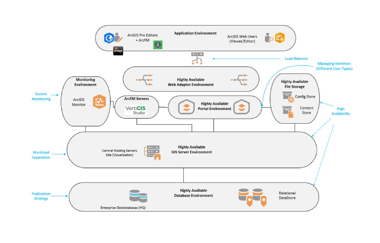
Working with Esri Spain, Khatib & Alami (K&A) provided K&A Telecom Solution (Telco+) whose GIS telecom productivity tools work on top of ArcGIS Utility Network services. The scope covered telecom data model configuration, graphical connectivity management, validation and tailored reporting.
Building a consistent network record
Existing records included CAD drawings, PDFs, Visio diagrams, spreadsheets and KMZ files, while some devices lacked documentation. High-capacity cables and numerous interconnections added to the challenge of maintaining a complete, accurate network record.
Teams needed a consistent structure for documenting physical connections and the logical services carried through them. Creating and maintaining splice diagrams in the underlying Utility Network environment was particularly laborious. Telco+ provided a graphical interface for managing these fiber connections.
The foundational telecom data model was adapted to Enagás’s assets and working requirements, establishing a common structure for cables, splices, devices and their relationships.
Making fiber connections easier to manage
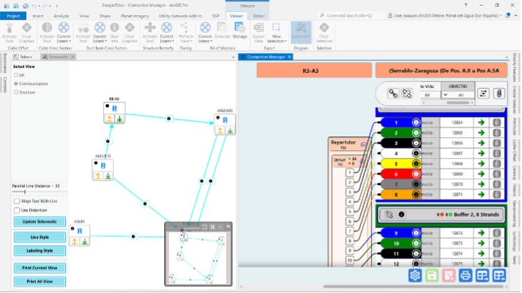
Within ArcGIS Pro, graphical tools display cable associations, individual fiber connections and splice arrangements alongside the geographic network map. Teams can view and update these connections in the network diagram. Service tracing shows which services each fiber carries, so staff can check service connectivity when planning maintenance.
Embedded business-rule validation and logical checks work alongside attribute rules and GIS automation to help identify errors as records are created or edited.
Template-based reports, including connectivity matrices and diagram summaries of associated fiber assets, follow Enagás’s requirements and give teams a consistent format for reviewing network information.
Testing complexity before expanding
The team selected a complex 133 km section of the network for the pilot. This allowed them to check how the data model represented Enagás’s fiber assets and connections, test the editing tools and adjust the configuration ahead of the first 1,500 km phase. The published rollout plan envisages extending digitalization across the wider network of more than 6,000 km.
Maintaining records as the network changes 
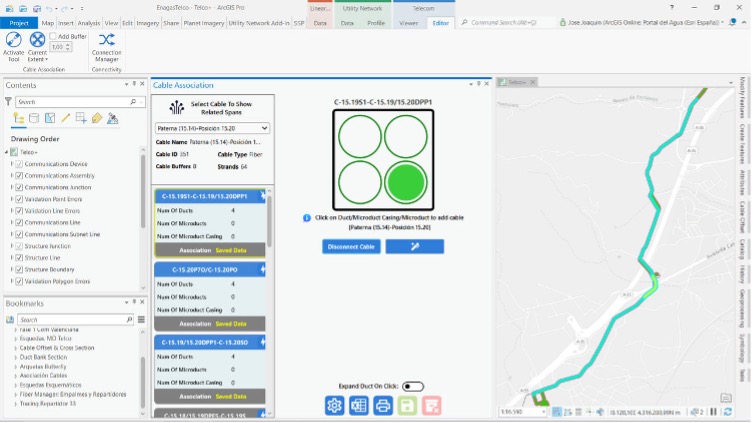
Asset records and connectivity information can now be queried and updated within a common GIS environment. Tasks that previously required cross-referencing separate documents can be completed within the system, while compatibility with the corporate GIS is retained.
For maintenance teams, the network map, connection diagrams and service records provide a connected view of the infrastructure they work with.
Featured by Esri
Esri’s Enagás case study follows the project from the 133 km pilot to the digitalization of the first 1,500 km of network.
In 2024, K&A received Esri’s Implementation Partner Award at IMGIS for its work in the telecommunications sector.