
 ← Back to All Projects
Riyadh Urban Data Center
As Riyadh continues to grow and transform, access to reliable urban information is increasingly important for understanding the city’s development and supporting informed planning decisions.
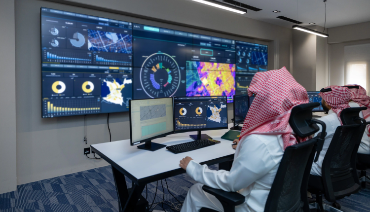
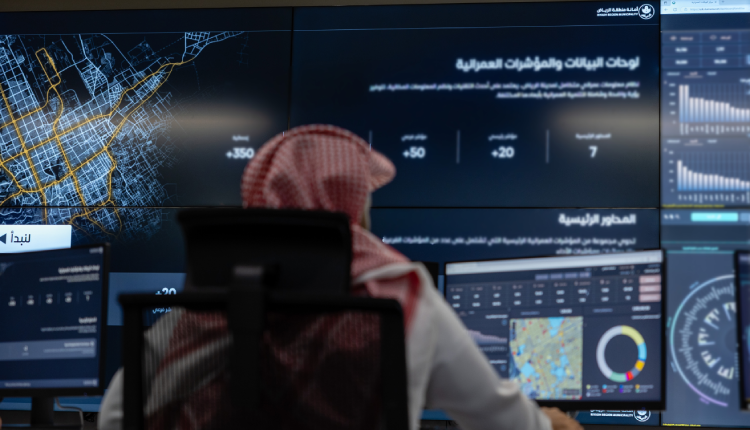
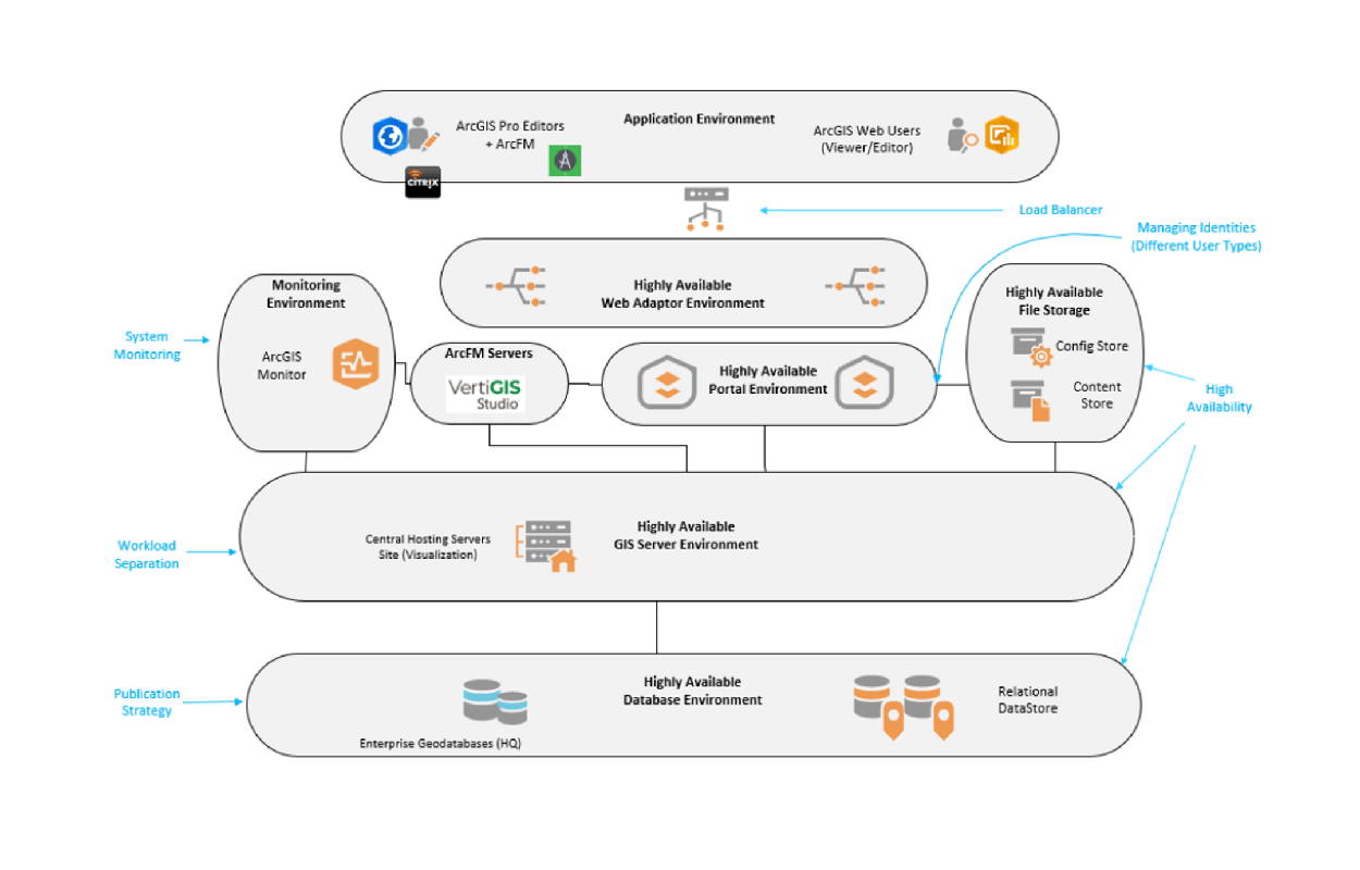
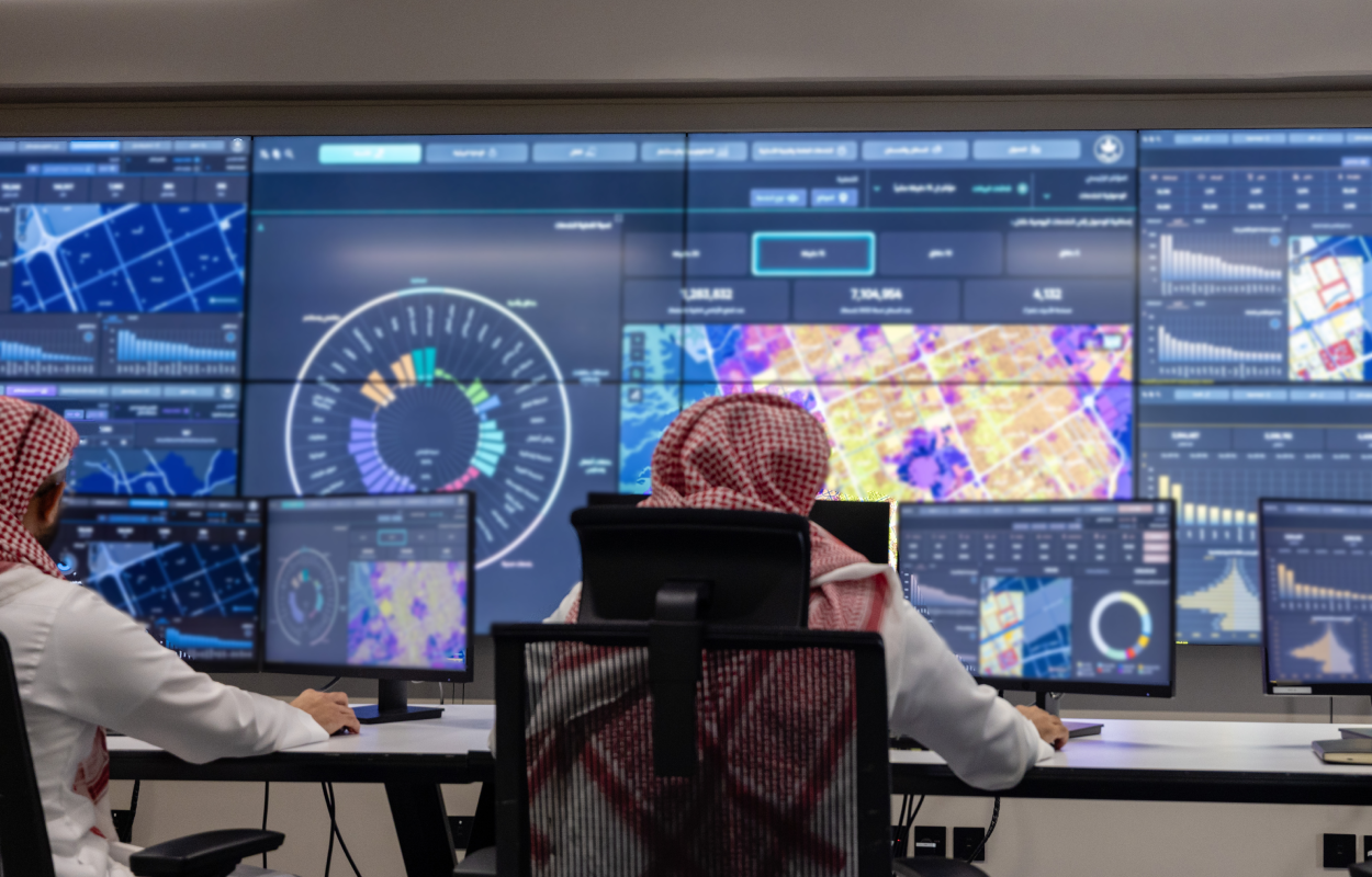
Developed by Khatib & Alami (K&A) for Riyadh Municipality, the Riyadh Urban Data Center (RUDC) brings together geospatial information, urban indicators, and statistical data within an integrated digital environment. The Center provides a shared foundation for examining urban conditions, identifying spatial patterns, and assessing the city’s development across different geographic scales.
Connecting Urban Data with Spatial Intelligence
The Urban Data Center consolidates information across seven urban domains, incorporating more than 70 indicators, 165 key performance indicators (KPIs), and approximately 350 statistics.
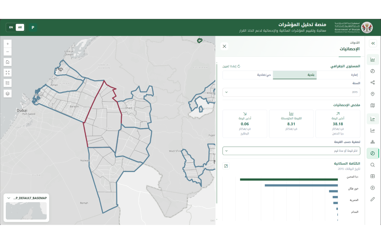
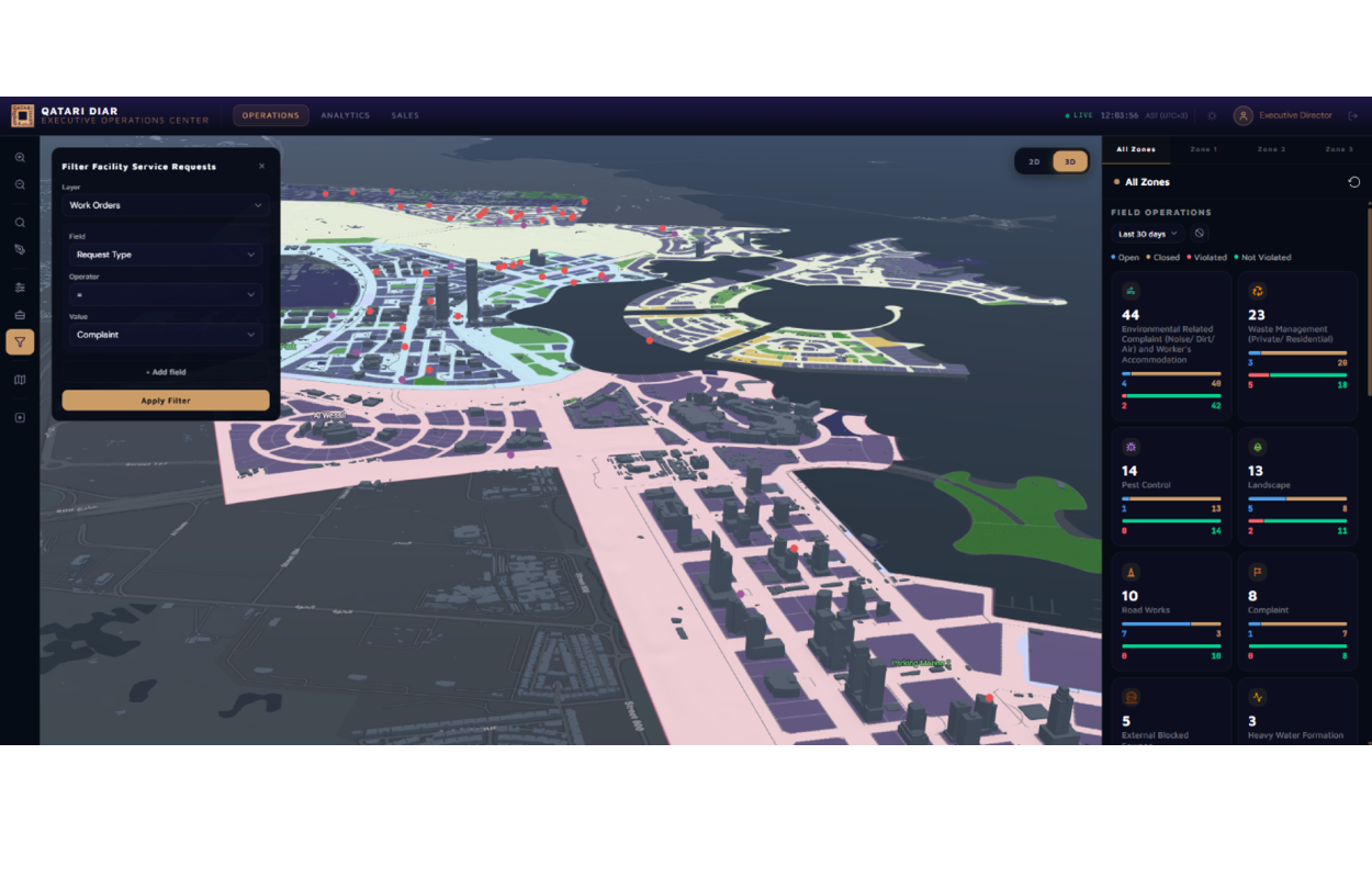
Through geographic information systems (GIS), data integration, and interactive visualization, the platform enables municipal stakeholders to explore information through dashboards, maps, and spatial analysis tools.
Rather than relying solely on citywide statistics, users can examine how urban conditions vary geographically, compare different areas, and identify patterns that may require further investigation.
K&A’s contribution combines expertise in urban planning, geospatial technologies, and digital solutions to organize complex urban information and translate it into accessible analytical tools that support the Municipality’s planning and assessment activities.
Measuring Access to Everyday Services
One of the applications developed through the Urban Data Center is Riyadh Municipality’s 15-Minute Index, a geospatial analytical tool that evaluates accessibility to everyday services across the city.
Covering approximately 4,132 km², the Index assesses access to services across seven main categories, using walking-time intervals of 5, 10, 15, and 20 minutes, alongside vehicle-based accessibility assessments.
By combining geographic information on urban services, street networks, and land parcels, the Index provides a spatial understanding of how accessibility varies across Riyadh.
For the Municipality, the application helps identify areas with different levels of service accessibility, highlight underserved locations, and inform planning priorities and the distribution of urban services.
For residents, the 15-Minute Index makes this geographic information accessible through an interactive public interface. Through the Municipality’s MyCity application, users can explore the availability of everyday services around their homes or areas of interest, understand which facilities are reachable within different walking or driving times, and compare service accessibility across locations. This enables residents to better understand their neighborhoods and make more informed decisions about their daily activities and surroundings
By serving both municipal stakeholders and the public, the 15-Minute Index connects city-scale planning analysis with the everyday experience of living in Riyadh, making urban data more accessible and relevant beyond institutional use.
Turning Urban Data into Planning Insights
Beyond its digital platforms, the Urban Data Center develops applied urban studies and spatial analyses addressing different aspects of Riyadh’s urban development.
These include service coverage assessments to identify gaps in essential services; neighborhood evaluations examining urban conditions and quality of life; and land grant analysis and classification study to support the understanding of land distribution and characteristics.
The Center also incorporates sentiment analysis, examining public reviews to understand residents’ experiences and perceptions of urban services and facilities, alongside municipal complaints analysis, which explores reported issues and their geographic distribution to identify recurring concerns and spatial patterns.
Together, these studies combine spatial, quantitative, and qualitative information to provide a more comprehensive understanding of urban conditions and support informed planning and municipal decision-making.
Supporting Evidence-Based Urban Planning
Through the combination of integrated datasets, interactive platforms and dashboards, and applied spatial studies, the Urban Data Center provides Riyadh Municipality with a common analytical environment for examining urban development.
The center supports the monitoring of planning-related indicators, geographic comparisons, and the investigation of urban conditions at different spatial scales.
By connecting information with spatial analysis and targeted urban assessments, the RUDC strengthens the foundation for evidence-based planning and informed municipal decision-making.
International Recognition
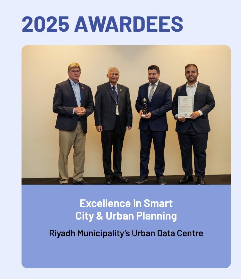
image source: geospatialworld.net
Riyadh Municipality’s Urban Data Center received the Excellence in Smart City & Urban Planning Award at the 2025 Geospatial World Excellence Awards, presented during the Geospatial World Forum in Madrid.
The Municipality’s 15-Minute Index was also selected as a finalist in the Infrastructure & Building category of the 2025 World Smart City Awards, held during Smart City Expo World Congress in Barcelona.
These distinctions recognize the application of geospatial technologies and urban data analytics in supporting Riyadh’s urban development.