
 ← Back to All Projects
Qatari Diar GIS and City Intelligence
A city-wide performance dashboard and an individual work permit serve different purposes, but both depend on understanding location. For Qatari Diar, Khatib & Alami (K&A) delivered GIS solutions for examining city performance, reviewing proposed works and managing land records.
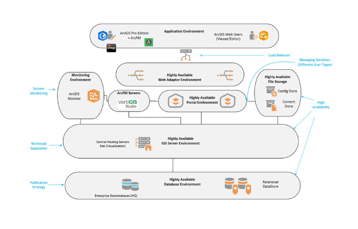
The scope covered City Insights, a GIS-enabled Permit to Work process within Salesforce, and an Enterprise Web GIS platform.
Moving from city trends to individual records
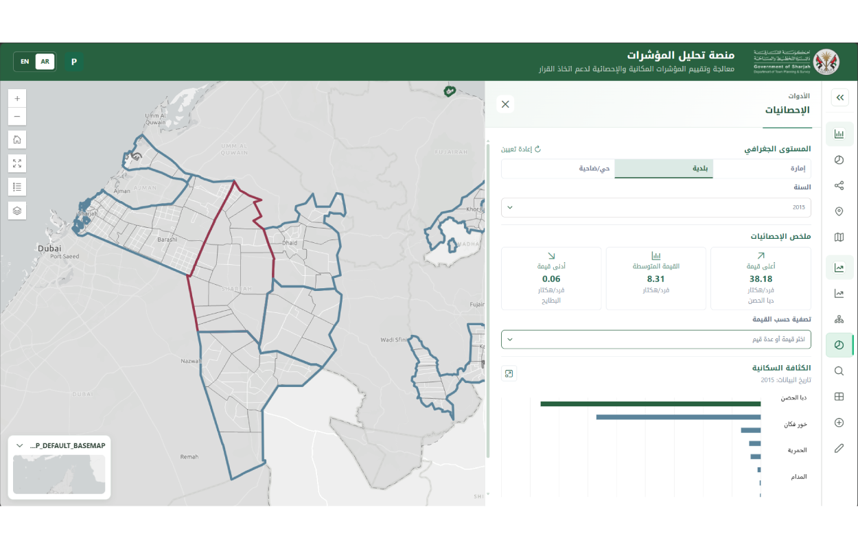
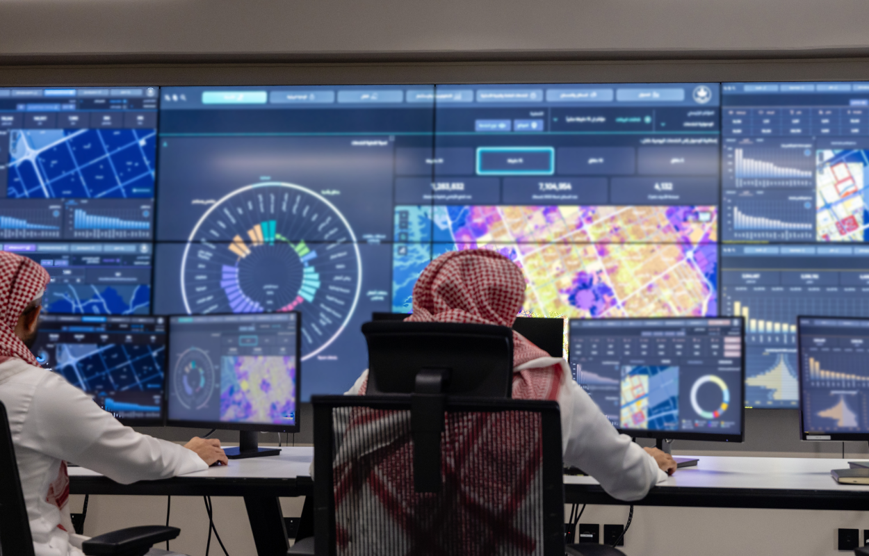
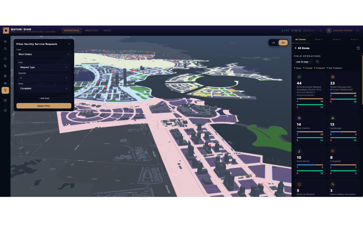
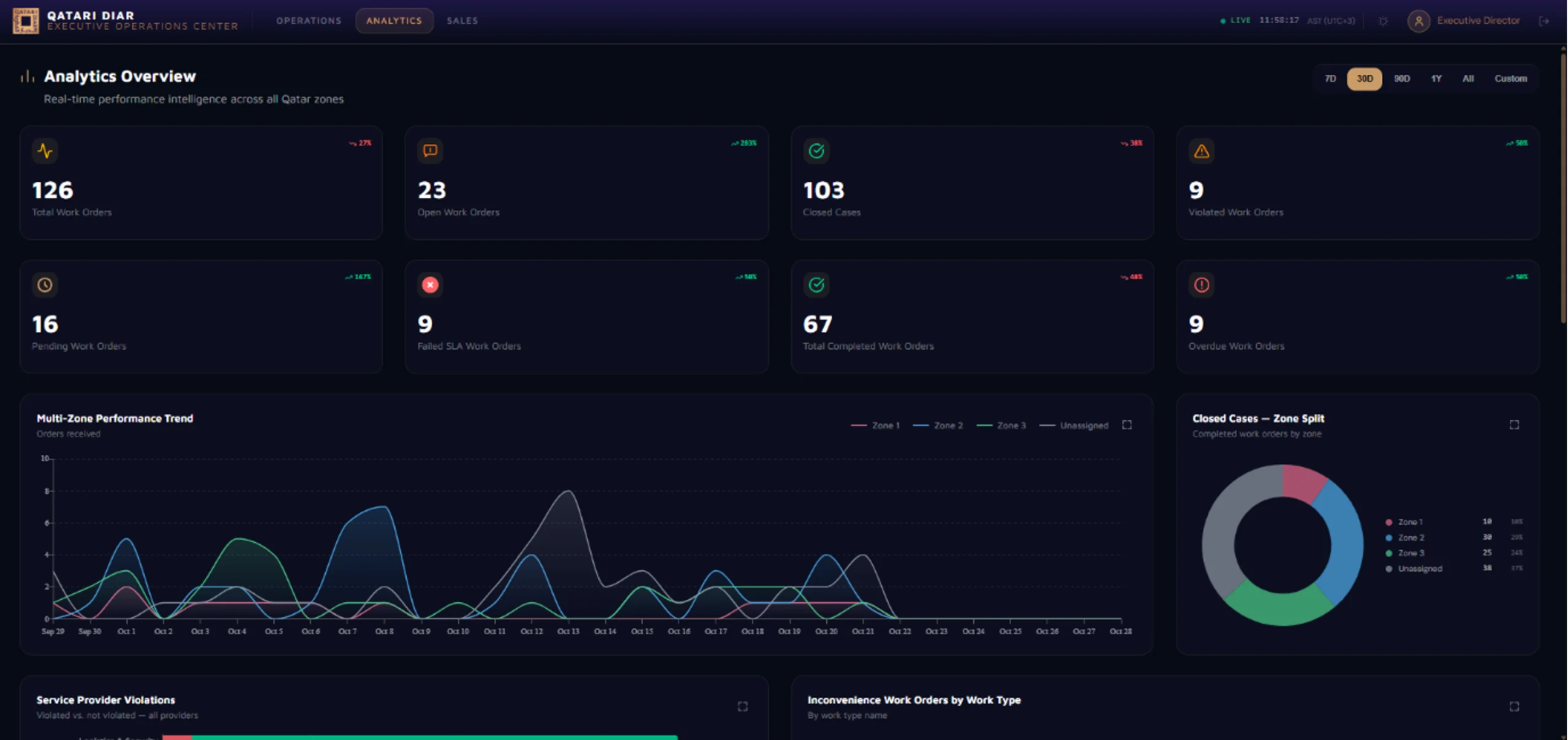
City Insights combines operational, sales and geospatial information with analytics, interactive GIS and immersive 3D visualization.
Stakeholders can monitor performance and investigate trends, then move from the city-wide view to individual plots, permits, contracts and operational activities. Spatial analysis also helps them examine patterns in service delivery.
Reviewing work permits in their site context
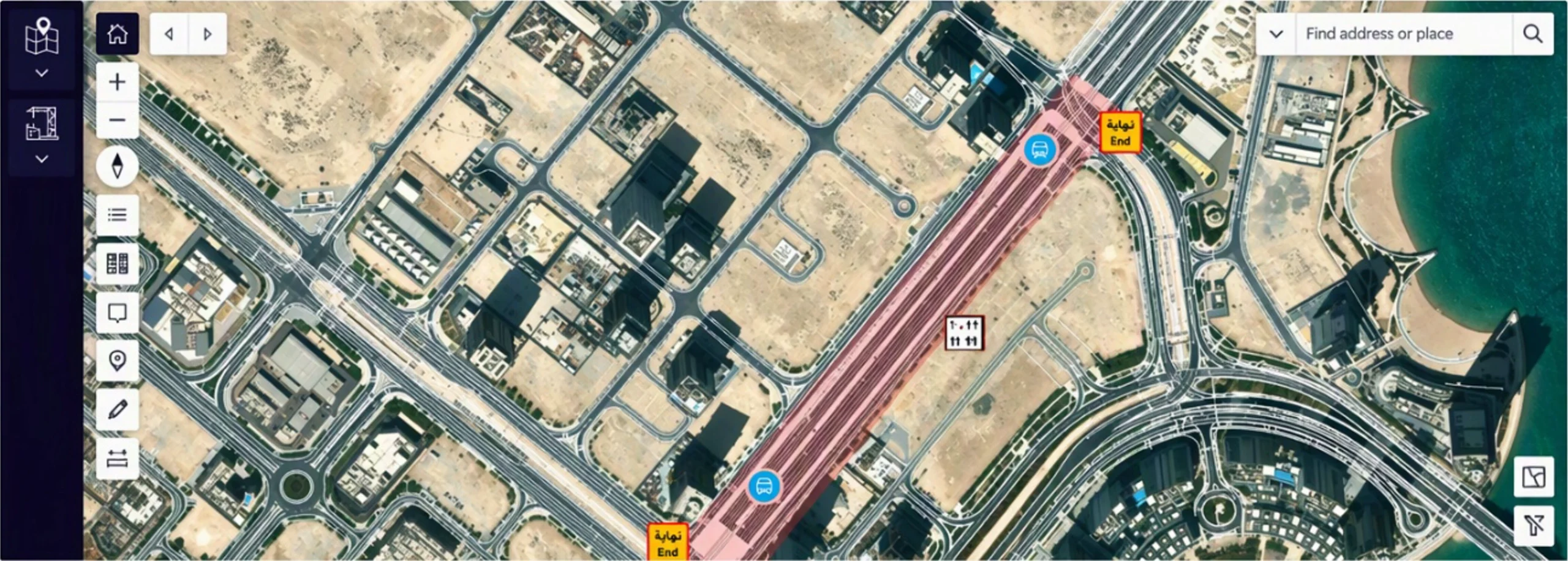 The GIS-enabled Permit to Work solution embeds spatial tools within Salesforce. Requesters can define work areas, position CAD drawings and add site controls.
Spatial checks will flag any overlap between the proposed work area and another permit and will show nearby utilities and assets. The approver can then go into Salesforce and review those potential site conflicts as part of their assessment of the request.
The process supports quicker reviews and earlier identification of conflicts, while maintaining a transparent, auditable record of permitting and approvals.
Managing land and infrastructure on a shared map
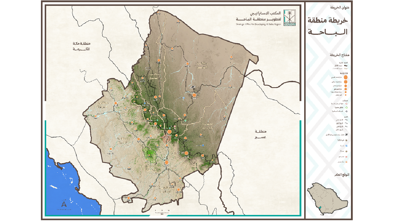
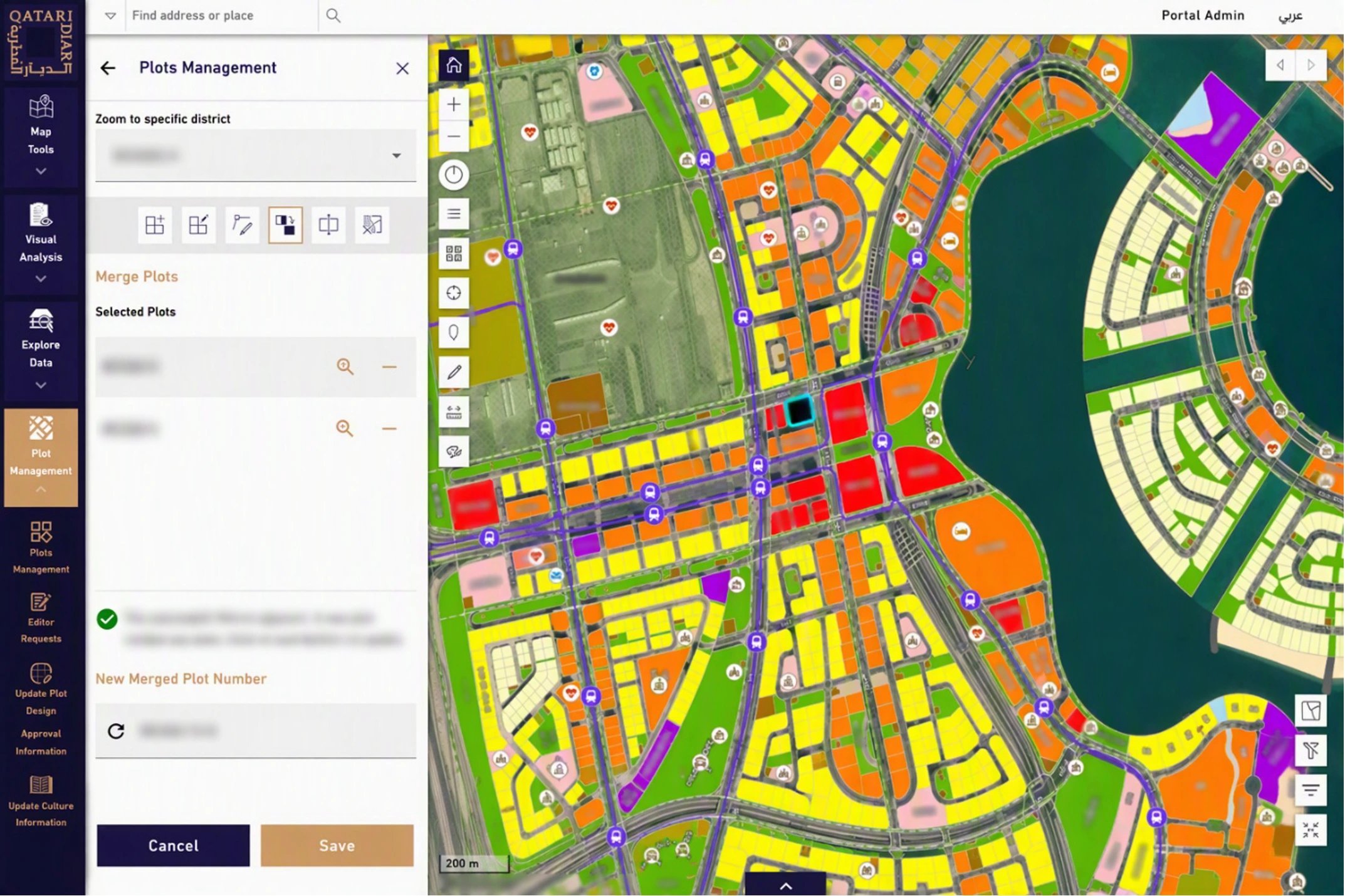
The Enterprise Web GIS platform brings plots, master plans, infrastructure networks, land information and enterprise data into a secure, bilingual environment, available in Arabic and English.
GIS tools and land management workflows allow users to explore infrastructure, analyze land information and manage plots. Enterprise system integration provides access to ownership and commercial records, with role-based permissions controlling access.
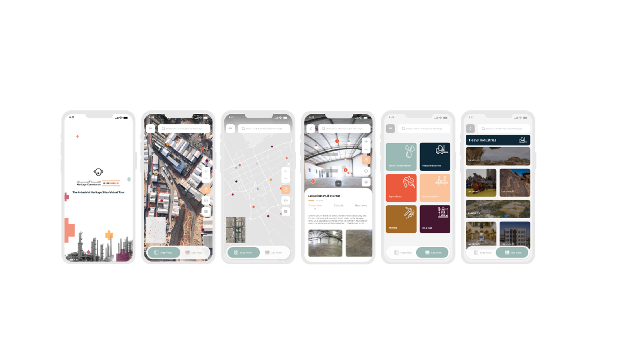
Managers can view enterprise data via executive dashboards. Field teams can capture site observations on their mobile devices for use by office staff, with both teams working from the same geographic data.